  |
 |
||
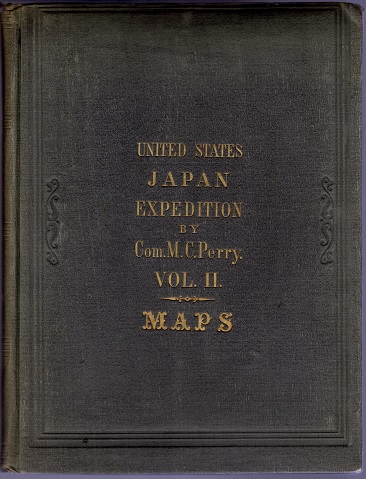
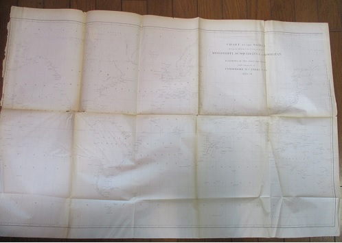
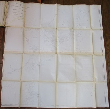
| カバー(表紙) No. 1 ペリー艦隊世界周航図(60x93cm) | No. 2 + 3 中国沿岸・日本およびフィリピン群島(103x108cm) | ||
 |
 |
 |
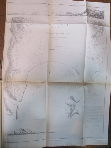 |
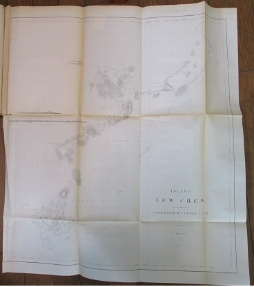
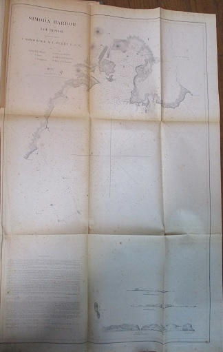
| No. 4 琉球本島(68x61cm) | No. 13 下田港(80x52cm) | No. 12 江戸湾(88x76cm) | No. 14 箱館湾(65x47cm) |
| 商品番号 J-1670 | |||
| Francis L. Hawks; Rev. George Jones Narrative of the Expedition of an American Squadron to the China. Vol. 2: Book of Map. |
|||
| ¥50,000. (送料込み 総額) | |||
| Narrative of the Expedition of an American Squadron to the China Seas and
Japan, Performed in the Years, 1852, 1853, and
1854, Under the Command of Commodore M. C. Perry, United States Navy, by Order of the Government of the United
States, compiled from the original notes and journals of Commodore Perry
and his officers, at his request, and under his supervision, By Francis L.
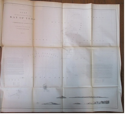
Hawks, D.D.L.L.D., with numerous illustrations. Published by ordre of the Congress of The United States. Vol. 2 Book of Maps. No. 1 Track Chart of the World, No. 2 & 3 Coast of China and Japan Islands, including the Mariannes and Philippines, No.4 Lew Chew Island, No. 5 Harbor of Napha, Lew Chew, No. 6 Deep Bay, Lew Chew, No. 7 Tubootch and Suco Harbors, Lew Chew, No. 8 Shah Bay, No. 9 Kelung, Formosa, No. 10 Coffin Group, No. 11 Yedo Bay, No. 12 Gulf of Yedo, No. 13 Harbor of Simoda, No. 14 Harbor of Hakodadi, No. 15 Enderno Harbor. |
|||
|
F.L. ホークス(編) ペリー提督日本遠征記 |
|||
|
「ペリー提督日本遠征記」第2巻巻末の綴じこみ地図(Nos.1~15)の製本巻。No.1 「ペリー艦隊の世界周航図」(60x93cm) Nos.2+3 「中国沿岸、日本列島、フィリピン諸島」(103x108cm) No.4 「琉球本島」(68x61cm) No.5 「那覇港」(52x62cm) No.6「名護湾」(52x51cm) No.7「琉球 渡久地・瀬底港」(68x52cm) No.8「琉球Shah Bay (六田原」(34x44cm) No.9「台湾基隆」(65x90cm) No.10 「Coffin Group(豪州)」(51x42cm) No.11「江戸港」(98x68cm) No.12 「江戸湾」(88x76cm) No.13 「下田港」(80x52cm) No.14 「箱館湾」(65x47) No.15 「蝦夷 噴火湾」(45x56cm) (カッコ内は地図を広げた縦横サイズ) |
| |
|
||
| カバー(表紙) No. 1 ペリー艦隊世界周航図(60x93cm) | No. 2 + 3 中国沿岸・日本およびフィリピン群島(103x108cm) | ||
|
|
|
|
| No. 4 琉球本島(68x61cm) | No. 13 下田港(80x52cm) | No. 12 江戸湾(88x76cm) | No. 14 箱館湾(65x47cm) |