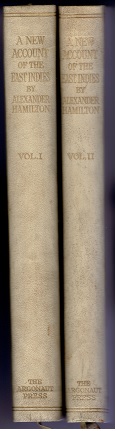
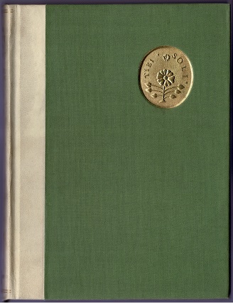
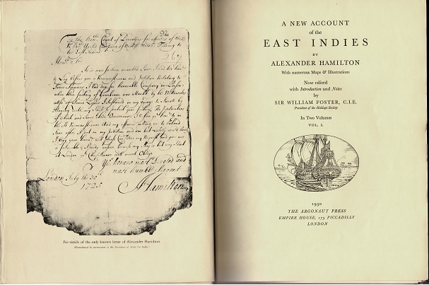
本書(全2巻)の背表紙、表紙、タイトルページ
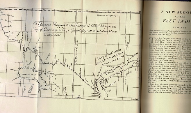
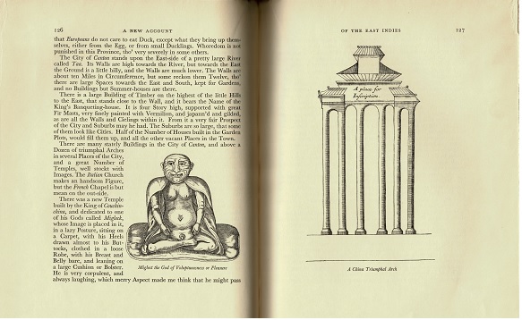
折り込み地図、本文中図版(中国)
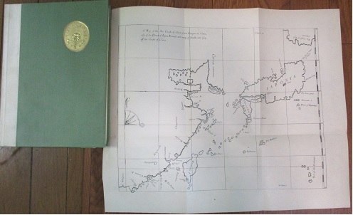
本書の折り込み地図(中国、日本)
| | 商品番号 | T-1017 | お問い合わせ・ご注文 露蘭堂 | |
| | Hamilton, Alexander |
| A New Account of the East Indies by Alexander Hamilton with numerous |
| Maps and Illustrations. Now edited, with introduction and notes, by Sir |
| | William Foster, C.I.E., presiden of the Hakluyt Society. In 2volumes. London, |
| |
Argonaut Press, 1930. Front.(facsim.) ill., maps (part fold.). With reprodutions of title-pages of |
| |
original edition, Edinburgh, 1727. 4to. Vol. 1: pp. xxvii, 259; vol. 2: pp. vi, 225. |
| |
bound in green cloth over half japon vellum, front board embossed with gilt floral medallion. |
| |
(Original title: A New Account of the East Indies, being the Observations and Remarks of Capt. |
| |
Alexander Hamilton, who spent his Time there from the Year 1688 to 1723. Trading and |
| |
Travelling, by Sea and Land, to most of the Countries and Islands of Commerce and |
| |
Navigation, between the Cape of Good-hope, and the Island of Japan. Edinburgh, 1727.) |
| | アレクサンダー・ハミルトン |
| 東インド諸国誌 |
| 1688〜1723年の喜望峰と日本の間の諸国・諸島嶼における商業と航海の新たな記録 |
| |
全2巻 エディンバラ 1930年刊 (英語、1727年刊の復刻版 限定975部印刷の一, No.40) |
| |
半べラム革装(エンボス、 リボン、26.5x20cm) (ケース入り) |
| |
¥47,000 |
| |
折込を含む合計8枚の地図(アフリカ海岸・エチオピア・エジプト、アラビア砂漠、インド、 |
| |
ガンジス、ベンガル湾東海岸、ジャワ・ボルネオ、中国・朝鮮・日本列島・台湾など)、 |
| |
木版による11の彫版図。ほとんどのページがアンカット。 |
| 168年から1723年まで東インド諸国で過ごした航海士ハミルトンによる地理、歴史、商業などの | |
| 総合的記録。日本に関しては、切支丹弾圧の歴史、オランダ商館員による日本の政治、 | |
| 宗教、貿易に関する記録などを基に叙述している。 | |
本書(全2巻)の背表紙、表紙、タイトルページ 折り込み地図、本文中図版(中国) 本書の折り込み地図(中国、日本) |
|