| | 商品番号 | T-1040 | お問い合わせ・ご注文 露蘭堂 | |
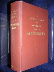
| | Imperial Japanese Government Railways |
| | An Official Guide to Eastern Asia. Trans-Continental Connections between |
| | Europe and Asia. Vol. 2. South-Westen Japan. Prepared by the Imperial |
| | Japanese Government Railways. Tokyo, 1914. 18mo. (11.5 x 16 cm), |
| | brown cloth with gilt lettering, top edge gilt, covers from Kagoshima to Kyoto |
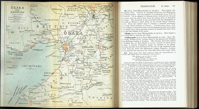
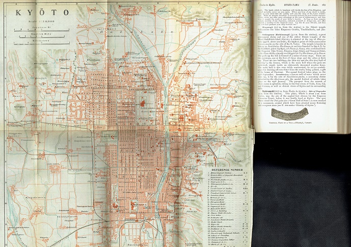
| | with sections on Taiwan and Okinawa, 15 maps/plans, most foldout, 105 |
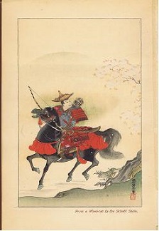
| | text illustrations (black and white half-tone photographs), five full page black |
| | and white collotype plates, one color woodcut plate (frontispiece) by the |
| | Shimbi Shoin, i-cciv + 370 pp. Introductory remarks on Japan covering |
| | arrival, communications, mail, geographical features, history, dress, food, |
| | conveyances, art, religion industries, wrestling, hunting, music and dance, tea |
| | ceremony, literature and landscape gardening. This section covers 205 pages |
| | (i-cciv). Next the book deals with Shimonoseki and Moji, Kagoshima, the |
| | Ryukyu Islands, Nagasaki, Shikoku, Kobe, the Inland Sea, Osaka, Kyoto, |
| | Nara and Taiwan. This section covers 370 pages (1-370). Counting both |
| | sections, the book has 575 pp. The colophon states "Printed at the Tokyo |
| | Tsukiji Type Foundry." The map at page 7 is the "Former Concession at |
| | Kobe" which relates back to district occupied by foreigners during the treaty |
| | port days. |
| | 日本鉄道院 |
| | 東アジア公式ガイド 第2巻 南西日本 |
| | 東京築地活版製造所 大正3年6月25日印刷 7月1日発行 クロス装 |
| | ¥29,500 |
| | 日本鉄道院刊行の「東アジア公式ガイド」(全4巻)のうちの第2巻、南西日本。カ |
| | ラー口絵、15の地図(多くが折込)、105の本文中図版 全575頁 (別掲の第3 |
| | 巻 「北東日本」も参照ください。なお、第1巻は満州、朝鮮、第4巻は中国)。 |
| |
|