| | 商品番号 | T-1039 | お問い合わせ・ご注文 露蘭堂 | |
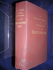
| | Imperial Japanese Government Railways |
| | An Official Guide to Eastern Asia. Trans-Continental Connections between |
| | Europe and Asia. Vol. 3. North-Eastern Japan. Prepared by the Imperial |
| | Japanese Governmen Railways. Tokyo, Japan, 1914. 18mo. (11.5 x 16 cm), |
| | brown cloth with gilt lettering, top edge gilt, covers from Yokohama to |
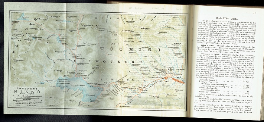
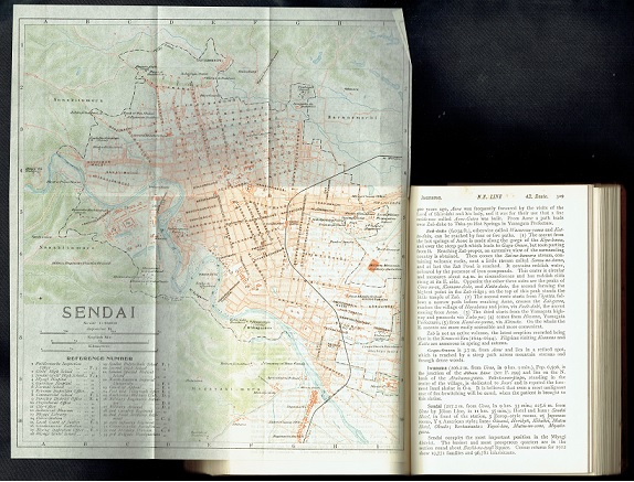
| | Nagoya and up to Hokkaido and the Kuriles, 2 maps on front and back end |
| | papers, 25 fold out maps, 71 text illustrations (black and white half-tone |
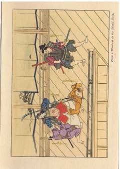
| | photographs), five full page black and white collotype plates, one color |
| | woodcut plate by the Shimbi Shoin, 488 pp. The colophon states "Printed at |
| | the Tokyo Tsukiji Type Foundry." The map at page 3 is the "Former |
| | Concession at Yokohama" which relates back to the district occupied by |
| | foreigners during the treaty port days. |
| | 日本鉄道院 |
| | 東アジア公式ガイド 第3巻 北東日本 |
| | 東京築地活版製造所 大正3年6月25日印刷 7月1日発行 クロス装 |
| | ¥27,500 |
| | 日本鉄道院刊行の「東アジア公式ガイド」(全4巻)のうちの第3巻 北東日本。 |
| | カラー口絵、25の折込地図、71の本文中図版、5の全頁大図版。全488頁。 |
| | (別掲の第2巻 「南西日本」も参照ください。) |
| |
|